Graveyard Fields
The night before May 24th, I decided that I wanted to photograph this spot at sunrise and hike to one or more of the waterfalls. I drove an hour to arrive just before sunrise to fly the drone to capture some aerial 360-degree panoramic images. After flying the drone for a while, I grabbed my tripod and 360-degree camera gear and started the hike to the upper falls. Along the way, I captured 360-degree panoramic images at various spots along the river, the Graveyard Fields, and on the trail to the upper falls.
The Graveyard Fields gets its name from the once wind-thrown tree trunks covered with moss and spruce needles because it looked like a graveyard. The area was destroyed by a fire in 1925. The United States Forest Service (USFS) acquired the property in 1935, prior to this, the landscape had been shaped by wildfires, removal of trees, vegetation and minerals.
This is a fun spot to stop off along the Blue Ridge Parkway. Great spot for hiking, taking in the views, or even use the restroom as this overlook area has a public restroom. Restrooms are rare along the Blue Ridge Parkway.
Below are a few aerial 360-degree panoramic images captured above Graveyard Fields.
Click here to view it in fullscreen
Equipment used to capture the 360-degree panoramic images:
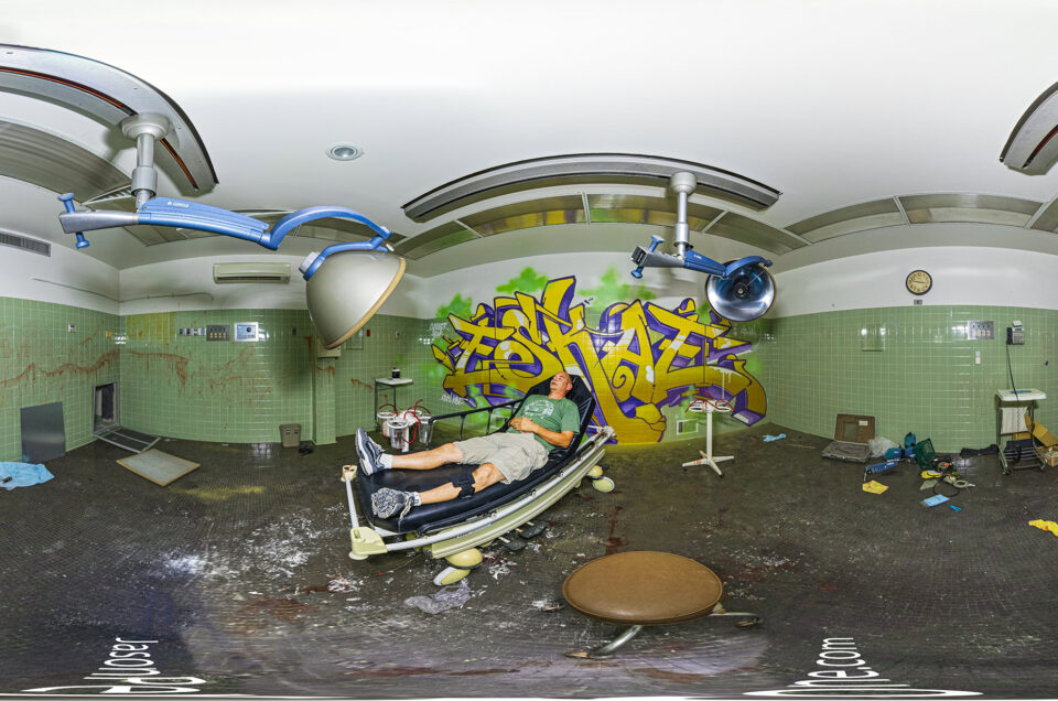
Here are 18 360-degree panoramic images captured at the Graveyard Fields.
Click here to view it in fullscreen
Equipment used to capture the 360-degree panoramic images:


Learn more about the area on the USDA website.
You might also like


Comment
[…] the way back from Graveyard Fields, I decided to stop off at Pounding Mill Overlook to fly the drone really quick as there was a cool […]