Aerial Panoramic views of Linn Cove Viaduct
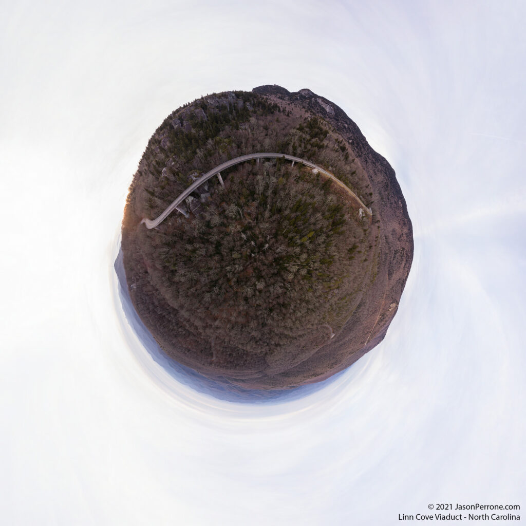
In December 2021, I took a trip to North Carolina, and during this trip, I decided to visit the Linn Cove Viaduct around sunset to get some nice aerial 360-degree panoramic images of the Blue Ridge Parkway, Grandfather Mountian, and the surrounding area Despite my Ipad only having 5% battery life, I was able to fly my drone long enough to capture the below five (5) aerial panoramic images.
Click here to view it in fullscreen.
Equipment and software used to create the above 360-degree panoramic images:
- DJI Phantom 4 Advanced Drone
- Adobe Lightroom
- Adobe Photoshop
- Kolor Autopano Giga
- Garden Gnome Pano2VR

Little planet projection from an aerial 360-degree panoramic image captured above the Linn Cove Viaduct. Photo credit: Jason Perrone
About the Linn Cove Viaduct
Costing 10 million dollars to construct in 1983, the viaduct is 1,243 feet long and contains 153 segments weighing 50 tons each. Only one of the 153 segments is straight. The viaduct was the last section of the Blue Ridge Parkway to be completed and is considered a marvelous feat of engineering and environmental protection. You can read more about this section of the Blue Ridge Parkway on the National Parks Service website.


Comment
[…] You might allow like to view the St. George Island Lighthouse, the Poinsett Bridge, or the Linn Cove Viaduct. […]