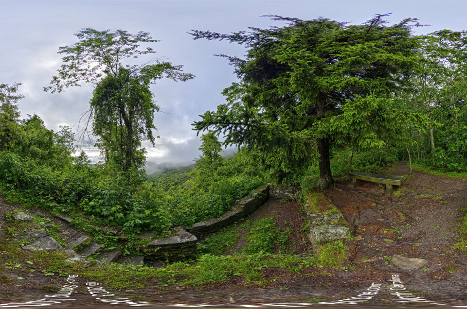
Craggy Pinnacle Hike Aerial 360 Panoramic
Craggy Pinnacle hike is a 1.2-mile round trip hike through some amazing terrain. After hiking the trail and taking various 360-degree panoramic images along the trail and the peak, I flew the DJI Phantom 4 advanced drone above the parking area to capture an amazing 360-degree view of the Blue Ridge Parkway and surrounding mountains. Check out the aerial 360-degree panoramas below. Make sure to zoom into the images as the first image is 352 megapixels and the second is 344 megapixels.
Learn more about Craggy Pinnacle Hike on the Explore Asheville website.
View more aerial 360-degree panoramic images that I have captured over the years in my archives


Leave a reply