French Broad River Aerial 360 Panoramics
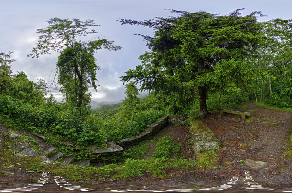
On July, 17th 2020 while on a working vacation in North Carolina, I took a drive along the Blue Ridge Parkway and decided to stop along the French Broad overlook to snap a few aerial 360-degree panoramic images. The French Broad River overlook is located at mile marker 393.8 on the Blue Ridge Parkway outside Asheville. You can view the two panoramic images below. The first panoramic image was captured at 675 meters (2214.57 ft) and the second was captured at 820 meters (2690.29ft).
Click to view the full-screen version.
The French Broad River is one of the few north-flowing rivers in the United States. The river is a prominent figure in the development and history of Western North Carolina.
Learn more about the River on Wikipedia.
View more aerial 360-degree panoramic images that I have captured over the years in my archives


Leave a reply