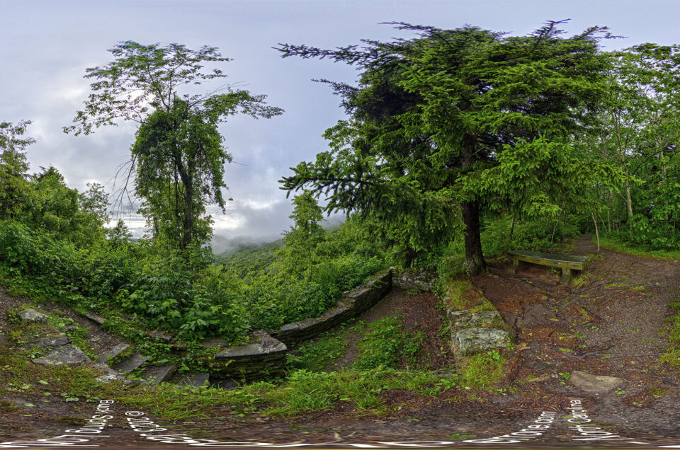
Aerial 360° spherical panoramic above Bio Lab Road.
Located in the Merritt Island Wildlife Refuge, Bio Lab Road is a beautiful 6 mile drive along the Mosquito Lagoon. This road is accessible from two areas of the National Park. You can enter from the North end which is where the Bio Lab Road Boat Ramp is located or from the south which is about 2 miles past the ranger station at the entrance for Playalinda Beach.
This is another fee area of the National Park and you should enter from the south, where you can pay the small entrance fee. The fee will also allow you to visit Playalinda beach. If you decide to visit the beach use caution when going to the far north end. The north end of the beach is where people go to enjoy a little bit of extra privacy and sunbath nude, however there a plenty of areas of Playalinda where people enjoy the beach clothed. The beach is also a really good spot to view a rocket launch and now landings.
On my many trips along this road I have been lucky enough to view and photograph lots of wildlife such as:
- Alligators
- Bobcat
- Egrets
- Roseate Spoonbills
- Florida Scrub Jay
- Gopher Tortoise
- Osprey
- Pelicans
- Golden Orb Spider
On many occasions I have spotted more wildlife on Bio Lab Road than I have on Black Point Drive. You can bike, hike or drive this scenic road. If you decide to hike or bike this road make sure to take plenty of water as there are no facilities along the road. There are several shaded areas you can stop to rest and get out of the sun.
Most of the wildlife in the area stays in the marsh but I have spotted gators in the mosquito lagoon. I also saw my first bobcat while driving the road around sunset and was able to use my pair of Google Glass that I had at the time to capture a photo.
Below are a few 360° spherical panoramic images I added to Google Maps Street View.
Sunset 360 degree panoramic on the south end of Bio Lab Road
Another Sunset view
Alligator on the bank
Bio Lab 360
Alligator in the water 360 panoramic
Map of the Bio Lab Boat Ramp
You might also like
Leave a reply